Archives & Special Collections is your portal to the University's archives, rare books, manuscripts, historic photos, artifacts, and much more.
Research Support
Digital Collections
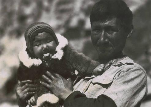
We have scanned nearly 50,000 images and documents from our collections for you to access online. Search across all collections, or target your search to some of the popular collections listed below.
- The Santa Clara Student Newspaper
- SCU Yearbooks
- SCU Course Catalogs
- Mission Santa Clara Manuscripts
- Mission Santa Clara Sacramental Records
- Full text scans of baptism, marriage, and burial records. Click Browse All at top of page to replicate the experience of leafing through the bound records by hand.
- Unsure where to begin? This guide to SCU Digital Collections can help you get you started.
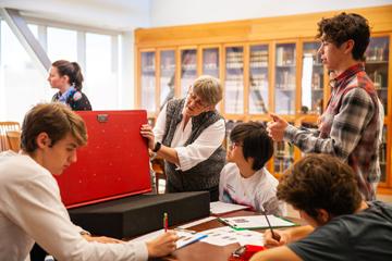
We're Open for Research
Archives & Special Collections is open to researchers Monday through Thursday from 10:00 am to 5:00 pm, and Fridays from 10:00 am to 3:00 pm during the academic term.
Please check the department calendar to confirm open hours. Intersessions and summer have reduced hours, Monday through Friday from 10:00 am to 3:00 pm, and finals week is usually by appointment only. Appointments outside these hours may be accommodated depending on staff availability.
Please call or email us no later than two business days before your anticipated date of arrival to set up an appointment and arrange for materials to be brought to the reading room.
Virtual assistance is also available: we provide Zoom appointments, material duplication, and email research consultations.
How to reach us: call (408) 554-5530 or email SpecialCollections@scu.edu with your inquiry or appointment request.
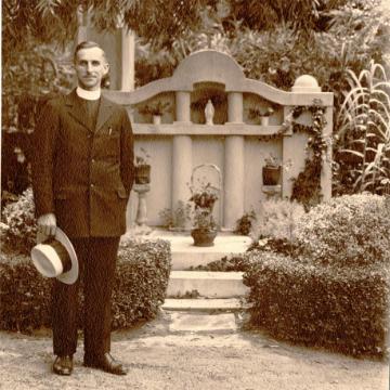
Arthur's Attic
Arthur's Attic is the blog of Archives & Special Collections, where we share interesting items and discuss topics related to our collections. The blog is named after Arthur Spearman, University Archivist from 1957-1977, who we attribute to assembling many of our bedrock collections.