Religious Landscapes
Encountering the Silicon Valley Religious Landscape
Living Religion Collaborative faculty have developed courses that invite students to conduct ethnographic research in the field, connecting them to local religious and spiritual communities and practitioners whose religious and spiritual lives are a central focus of student learning. Each quarter, students in a range of undergraduate religious studies courses record geographically located snapshots of their observations. In addition to recording the dynamism of religion and spirituality in Silicon Valley, their observations offer insight into how young adults experience these spaces—what they see, hear, feel, and understand as interesting, significant, or meaningful.
Encounter their ethnographic work by clicking on the blocks on this page.
LRC Encounter GeoMap
Spirits of the City
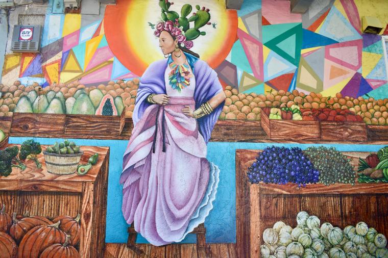
Religious sites come in various forms, some institutional, others more ad hoc. This story map explores murals painted on buildings, fences, and other structures throughout San Jose by area residents and artists. Murals are expressions of culture, history, and identity that often draw on religious iconography, locales, and stories.
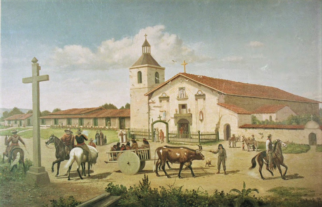
Mapping Silicon Valley Religion
Explore the history of the diverse Silicon Valley religious landscape through this storymap by SCU graduate Dhruv Pais (’22).
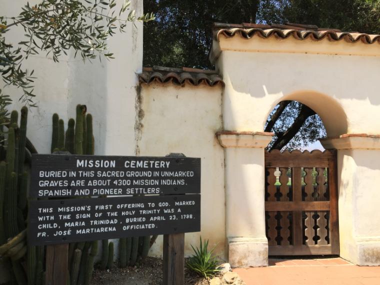
Sacred Spaces
Students record observations and experiences of sacred spaces.
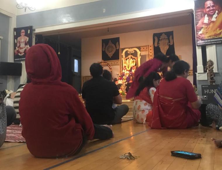
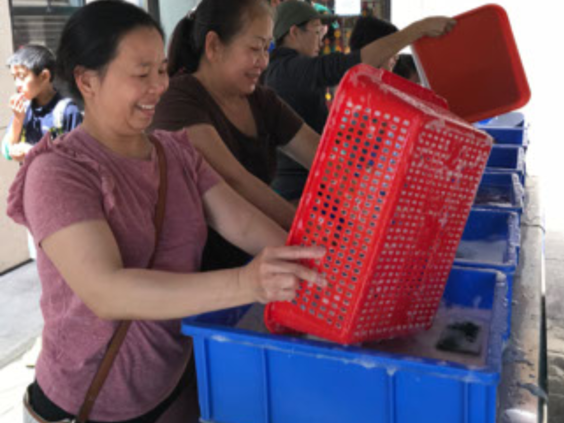
Practices and rituals
Students record observations and experiences of daily religious practices and sacred rituals.
Santa Clara Students in place-based course map local religious and spiritual spaces, practices, and communities in the Silicon Valley and beyond.
Photo by Jaime Wright, 2020