Breaking News
New research: Mapping sustainable coffee
Advances detection of biodiversity-friendly coffee farms
Two decades of research have shown the rich biodiversity conserved in shade vs. sun-grown coffee farming systems. Shade-grown coffee incorporates fruit trees and native tree species into a canopy above the coffee crop, leading to more vegetation diversity and better habitat for birds and insects.
Unfortunately, recent studies have suggested global declines in diverse shade production. It's important to know the extent of these declines, but methods for detecting them can be problematic. One approach relies on expert surveys or crop suitability models, which provide valuable insights, but often have less spatial accuracy, especially near forests. Another way is to use remote sensing--analysis of aerial and satellite images. Remote sensing approaches offer the potential for more spatially accurate and cost-effective assessments, but they can have a hard time distinguishing between areas with diverse shade coffee production and forests.
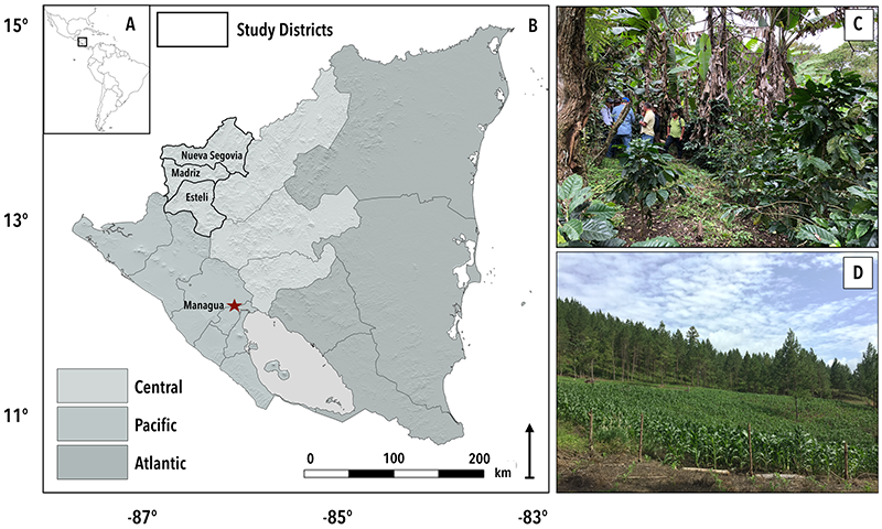
ESS Associate Professor Chris Bacon, along with former postdoc Lisa Kelley (now at University of Hawai'i, Manoa) and Lincoln Pitcher (UCLA), recently co-authored an article in the journal Remote Sensing. In addition to generating a more spatially accurate land use map that will be used by local farmers and included in future studies in our northern Nicaragua study area, this article combined open source tools to develop a method that classifies and maps agricultural land uses and differentiates between shade coffee and forests.