
A Tsunami in Lake Tahoe?
Christopher Kitts
Have you heard about the tsunami that recently hit Lake Tahoe? Really. I’m not joking. Although by “recently,” I must admit that I’m using the version of the term used by geologists—that is, “recently,” meaning within the past 10,000 to 20,000 years.
Lake Tahoe is roughly the shape of an oval that runs north and south, with the exception of McKinney Bay, an odd protrusion on the lake’s west side. The prevailing theory is that, historically, McKinney Bay wasn’t originally there. Sometime between 12,000 and 21,000 years ago, an earthquake hit the Tahoe area and 41,000 cubic feet of earth slid violently 1,640 feet down into the lake. This slide produced a “mega splash,” sending tsunami waves more than 300 feet high bouncing across the surface numerous times, temporarily lowering Lake Tahoe’s depth by 33 feet.
This event substantially altered the Tahoe Basin, redistributing stone and dirt in the initial event and in dozens of secondary landslides that eradicated life from the edges of the lake. One interesting development was the formation of large “ripples” in the sand along the lake’s edges. But unlike ripples you see on the beach as small waves recede, these ripples were massive due to the sheer volume and force of the moving water. On the northwest “Tahoe Shelf,” the ripples are massive “boulder ridges” as tall as 6.5 feet and extending for as long as 6,562 feet. And at 15 locations around Tahoe, the flow of dirt, as water receded back into the lake, caused large “sedimentation ripples” a nearly a thousand feet apart and in some cases almost 10 feet high.
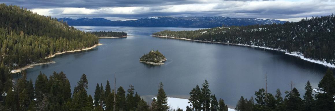
For more than 15 years, we’ve taken our student-built underwater robots and autonomous boats to Lake Tahoe, creating underwater maps, taking photographs, and collecting samples of various geologic formations.
In describing this fascinating story, I’m happy to report that a generation of students in the SCU robotics program has served on the research team that discovered many of these facts. For more than 15 years, we’ve taken our student-built underwater robots and autonomous boats to Lake Tahoe, creating underwater maps, taking photographs, and collecting samples of various geologic formations. In doing so, we’ve had the distinct pleasure of working with world-renown geologists Jim Moore, Ph.D., from the U.S. Geological Survey and Richard Schweickert, Ph.D., from the University of Nevada, Reno.
I’m incredibly proud of the fact that our students can engineer and operate high-quality robotic systems that can be used to help make discoveries such as these. As I reflect on my job as a “teaching-scholar,” I believe that this is a great example of what that means. In the classroom, students learn about robotic technology and how to design systems to serve the needs of a client. Then, the students learn to operate these systems with that client in order to create compelling results—in this case, contributing to world-class science. That, to me, is a stunning success and is why I love being at Santa Clara University. Oh yeah, it’s also hard to beat a job that involves spending a week on a boat in Lake Tahoe!
-------------------------------------------------------------------
References:
J.G. Moore, R.A. Schweickert, J.E. Robinson, M.M.Lahren, and C. A. Kitts, “Tsunami-generated boulder ridges in Lake Tahoe, California-Nevada,” Geology, v34 n11, p. 965–968.
J.G. Moore, R.A. Schweickert, and C.A. Kitts, “Tsunami-generated sediment wave channels at Lake Tahoe, California-Nevada, USA,” Geosphere, v10 n4, p. 757–768.
Jul 15, 2016

More articles from this author